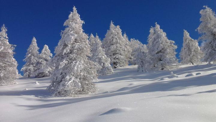
It is located between the Thures and the Argentera valleys. A very popular destination and easy to conquer with an excursion-walk: among gentle slopes and sparse woods you can easily climb up to the top. From the top, where an original observation system helps identifying the surrounding peaks, the view opens on the high Susa valley and the Sestriere hill. This location was used during the Second World War as a military post, the ruins of the fortifications erected by our soldiers are still visible.
Road access: From Turin’s ring road, take the motorway to Bardonecchia - Frejus. After the last toll booth, pass the exits of Oulx Est and Oulx Ovest and, shortly after, you meet the detour Sestriere-Claviere; take it and, after the tunnel, continue in the direction of Sestriere-Claviere. When you reach Cesana, at the roundabout, turn left towards Sestriere; this way, you get to the centre of Cesana, where you must not follow the road to Sestriere on the left, but go straight on, along the Ripa stream. When you reach the village of Bousson at the military barracks, turn right towards Thures. At this point the road is a little narrow: climb carefully. Once in Thures, you can park near the hairpin bend below the village, or nearby. On high season Sundays, it is possible that the road to Thures is closed and a shuttle service is made available.
Route: If you have parked at the hairpin bend, you can enter the charming village of Thures and, past the little square in front of the Fontana di Thures lodge, go up to the left towards the road passing over the village, or follow the road and, after the village, you see on the left a mule track with a sign indicating the path to Cima Bosco. After a a short time, you meet the Chalvet huts with their little church and following the most evident trail you continue to climb into the larch forest. You can choose to make large curves or climb up across them to the gentle summit slopes. On the summit you find a beautiful bivouac chapel dedicated to Saglia-Perona and other heroes whose names can be read inside; in case of bad weather, you can repair yourself from the winds that frequently hit the top.

