Height difference: 550 m
Time of ascent: 2 hours
Difficulty: E
Signposts: signs, white and red CAI 401 signs, yellow FIE signs
Suggested period: all year round, except the hottest hours of summer days
Map: scale 1:25,000, Il Parco naturale delle Capanne di Marcarolo (The Capanne di Marcarolo Nature Park), Ed. Studio Cartografico Italiano Carta Escursionistica.
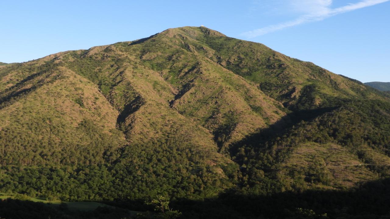
The "mountain of Alessandria," clearly visible from the plains, is not the highest peak in this section of the Piedmont Apennines, but it is certainly the best known and most frequented. The flora is particularly interesting, with many rare species, and favored in its diversity by the serpentine geological substrate. On the summit of Monte Tobbio there is a chapel with two bivouac rooms attached that are always open. Stunning 360-degree views ranging from the Ligurian Sea to the distant Pennine Alps. Interestingly, climatic changes responsible for intense and violent rainfall, coupled with heavy frequentation, have resulted in severe erosion and washout of the trails, which transforming into ruinous streams (shortcuts are lethal!) have necessitated re-marking of the trails themselves and even changes in trail layout to better direct the flow of hikers.
Access. From Bosio SP 165 or from Voltaggio SP 166 follow the road to Capanne di Marcarolo (or from Masone via Capanne and Benedicta) to Valico degli Eremiti (Hermit pass) where there is a small church.
Itinerary. The route begins to the left of the small church (559 m). The mule track first runs along a kind of trench that is the result of erosion, then, always rather stony, continues, leaving shortcuts blocked off to the left. Near a hairpin bend where the "direttissima" (trail marker) 401A comes off to the right, continue to the left on the trail, invariably uneven and stony, that climbs the northern slope of Monte Tobbio.
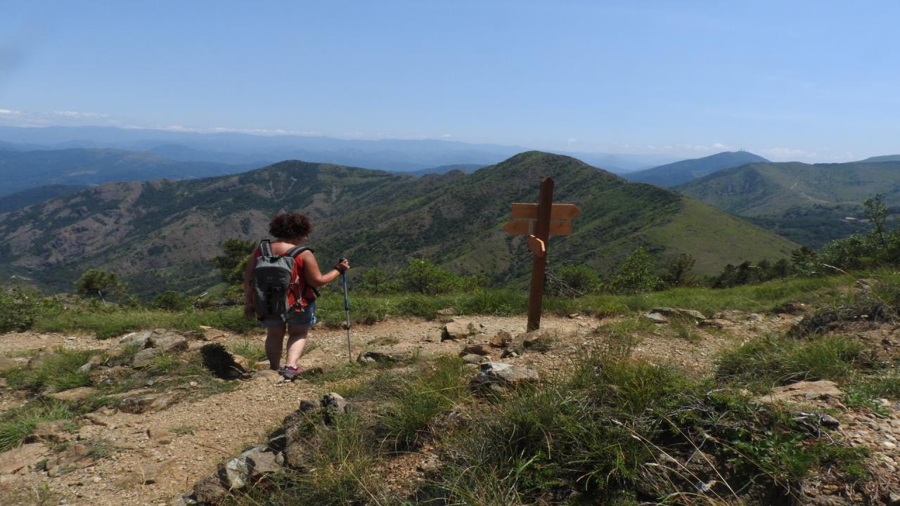
Passing a marked gully and crossing a sparse reforestation pine forest, we reach an elevation of 740 m (0.30 hours) where we encounter the trail coming from Voltaggio that follows Costa Cravara. More switchbacks take us higher up to a more open area where there is, in the middle of the mule track, a kind of low wall. Instead of continuing straight on the more obvious trail that heads toward the pass and flattens out for a stretch (alternative route not approved), we turn right and after a few meters left, where the mule track becomes clearly evident again. Keeping higher than previously, you then reach the Dariola pass (856 m, 0.30 hours), a wide grassy saddle that connects the Rio Lavezze valley with the Rio Vergone-Gorzente basins. Take a right to climb with wide switchbacks (the bottom is always somewhat uneven) toward the prominent summit. At about 1000 m elevation, the other Tobbio trail, 401A, joins from the right.
A few bends, a long crossing, one more switchback, and you arrive at the summit chapel (1092 m, 1 hour). A curiosity: a geography professor a few decades ago was keen to see in this very summit and in the layout of the sites a mirror image of the location where the monastery of Umberto Eco's "Name of the Rose," the writer who as we know was originally from Alessandria, might have been located.
Although there are alternatives, it is advisable to descend along the same route
@piemonteparchi