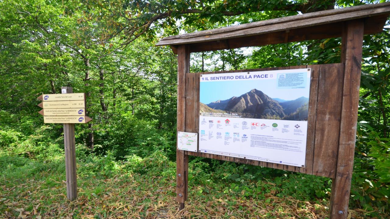
La Benedicta is the symbolic place of the Resistance to Nazi-Fascism in the Alessandria Apennines. In April of 1944, a dramatic round-up ended with hundreds of partisans being shot and deported to Germany, as well as young people who were captured in these woods where they had taken refuge. La Benedicta, an ancient monastery and then farmstead of the Spinola counts, fulcrum of the resistance movement in the area, was mined and destroyed. A warning to those who opposed the Germans. Today it is a Sacrarium of the Resistance and the subject of works for the construction of a multifunctional structure. The Sentiero della pace (Path of Peace) is a ring-route of about 5 km, an integral part of the project "La Benedicta Parco della Pace" (Benedicta Peace Park), created to remember the heinous massacre and to promote the monumental area dedicated to it. Along the route there are 8 explanatory panels on the theme of Peace. In addition to the excursion, it is advisable to visit the memorial that remembers all those who died in those tragic events, the area of the Martyrs' Pits where the partisans captured during the roundup of April 6, 1944 were shot and buried in mass graves and the ruins of Cascina Benedicta. The official departure of the trail is from the inner courtyard of the Benedicta but it may be more practical to begin the excursion a little further upstream, from the Cascina Foi where on the left of the road there is a convenient parking lot and one of the panels with the layout of the trail. With two short walks along marked trails you can also reach Cascina Moglioni, home of the Ecomuseum of the same name and the shelter under the rock of the Tana del lupo ("Wolf's lair") where many partisans were captured.
Access. From Bosio, Voltaggio or Masone, follow the provincial roads to Capanne di Marcarolo.
Itinerary. From the parking lot (781 m) of Foi ("foi" in the local dialect are the beech trees) take the dirt road (closed by a barrier) that goes downhill; at the fork (sign) continue on the right. The road ends at the Mulino nuovo (today a shelter, 0.15 hours) situated near the torrent (Rio del Mulino) of which you can still see the water wheel.
Then continue on the path that begins to the left of the road just before the building that, through the woods high above the stream, at first flat and then downhill, reaches the Hostel of Mulino Vecchio under renovation (October 2020). Once past it, continue on what is the access road to the hostel passing a crossroads where there is a rest area. At the top of the ridge, you will cross a forest track that you ignore. The walk continues through the woods and reaches a stream where there are the remains of catchment works (bridge, dam) upstream, to continue further on through a clearing (panel) and a little further on to reach the provincial road near the Benedicta (0.45 hours).
The trail continues upstream from the road (the entrance is immediately before the new structure). On the left, you can see one of the snow boxes that were used to store snow until the summer in an era that did not yet know the refrigerator. Then continue into the beech wood with a steep uphill stretch and turn left where you reach Cascina Pizzo: here there is a documentation center of the Parco della Pace (756 m, 0.30 hours). A few steps on the access road to the Cascina Pizzo and go back on the path that descends and continues alongside the provincial road until the crossroads to Valle del Piota and Case Cirimilla. A few hundred more meters and after passing the Cascina I Foi you will be at the starting point (0.15 hours). Going down along the provincial road, a little further on, you will find on the left the digressions to Cascina Moglioni and further on to Tana del lupo (parking nearby).
To reach the Tana del lupo just follow the dirt road (signpost) then turn right (you can also reach it from Cascina Moglioni) on a path that at first crosses an area with several springs and mud pools used by wild boars, then goes over a ridge and, becoming more precarious, reaches the rocks of the Tana (0.20 hours).