From Acqua Bianca to Alpe Fondecco
Height difference: 600 m
Time of ascent: 2.30 hours (plus digression to the Visitor Center)
Difficulty: E
Signposts: CAI 206, 210
Suggested period: June to September
Map: scale 1:25,000, Geo4Maps Hiking Map, No. 4 ValsesiaDall’Acqua Bianca all’Alpe Fondecco
The upper valley of Alagna, where the Sesia has its headwaters, makes it possible to admire, if the weather conditions are good, the stupendous southeast face of Monte Rosa with its fan of glaciers descending steeply downward. From Punta Gnifetti to Punta Giordani, it is a kaleidoscope of peaks exceeding 4,000 meters.
The "Glaciological Trail" is the ideal itinerary to observe, albeit from a distance, the marvelous amphitheater where the glaciers for now continue to shape the landscape. The one in Valsesia is the first thematic trail of its kind to be created and allows you, thanks to educational panels, to get acquainted with the geological aspects characteristic of glacial environments. At Alpe Fum Bitz there is the park's information point-museum and botanical garden where it is possible, during the flowering period, to admire many alpine floristic species.
Access. From the Wold parking lot, one kilometer beyond the Borgata Chiesa di Alagna, by shuttle bus (summer months only) to Acqua Bianca (about 3 km). Or on foot, along the carriage road that for a stretch leads to the left bank of the Sesia to bypass the landslide, to the Acqua Bianca parking lot.
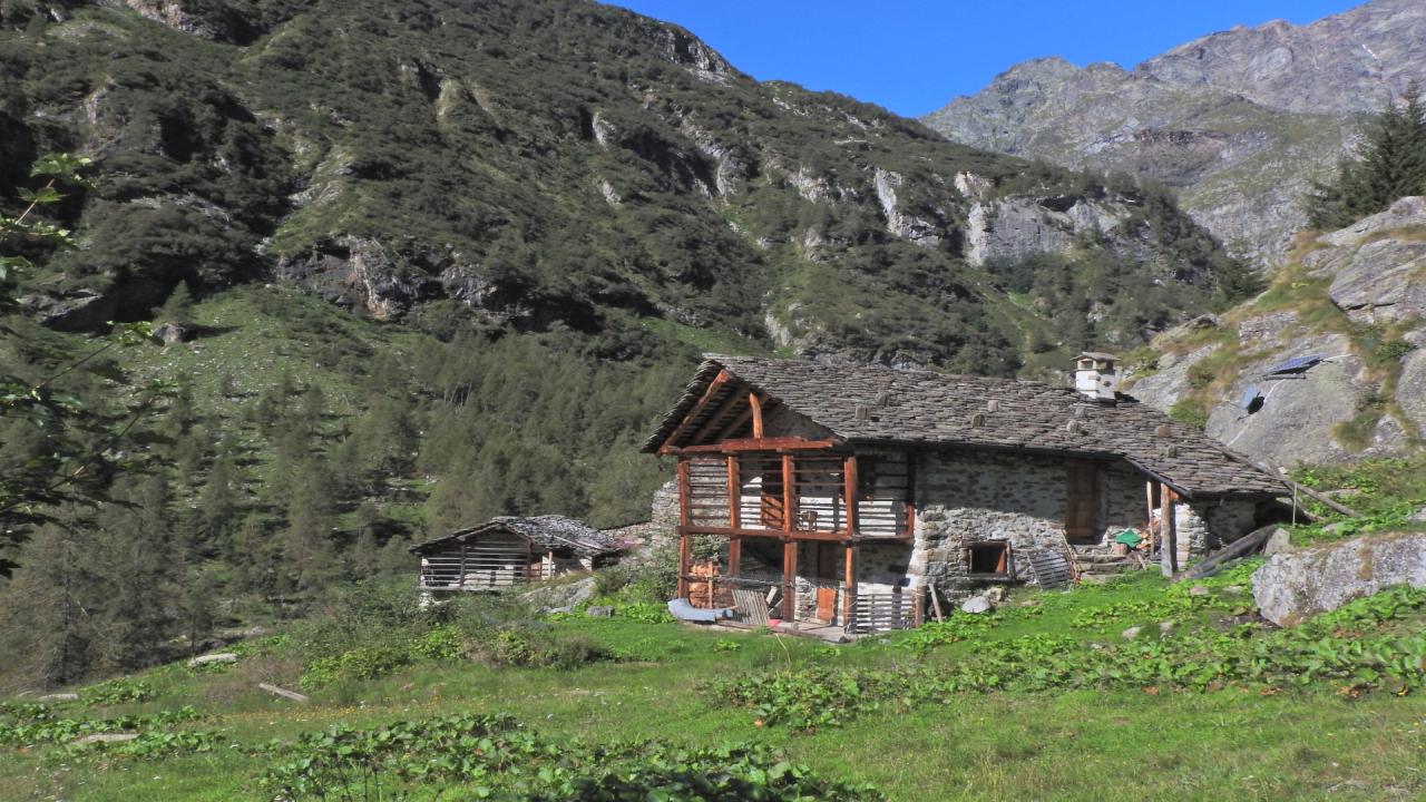
Itinerary. From the Piazzale (large square), the terminus of the shuttle bus (1510 m), after the unmissable digression that allows a peek at the beautiful waterfall - particularly spectacular in early summer - take the wide mule track at the beginning of which is located the first board describing past climatic changes, particularly those related to the last million years, during which the great Pleistocene glaciations occurred. Past the bridge, over the stream that descends from the "Acqua Bianca," the mule track forks: the right-hand path, which is less steep but longer, also leads to the Alta Valsesia Nature Park Visitor Center and will be walked downhill. The Glaciological Trail, on the other hand, goes to the left, climbing steeply alternating between steps and less challenging sections. A stop is necessary to admire the Caldaie del Sesia waterfall, a beautiful example of a fluvio-glacial gorge. A few hairpin bends and you reach the pastures from where you can finally admire the Monte Rosa massif. At the fork for Alpe Fum- Bitz you descend to the left to cross the Sesia on a covered bridge, and ascend to the scenic and pleasant shelf of Alpe Pile. Go back a few tens of meters and on the left (panel) here are other forms of glacial erosion, glacial pits, and just beyond the Pastore Shelter (1575 m, 0.30 hr).
From Alpe Pile it is possible to descend by a very steep path and 350 steps to San Antonio Chapel, located below at the edge of the carriage road. From the shelter you retrace your steps and leaving the path from which you came on the right, head toward the edge of the plateau and where the glaciological trail continues: the panel describes the glaciers of the Valsesian side of Rosa with their place names. You skirt for a stretch high above the river, pass the shelf of the Casera Lunga and cross a beautiful bridge over the Rio di Bors. You now ascend along the mule track, which after a more leisurely start becomes a steep and winding staircase, arriving at Alpe Bors (1836 m, 1 hour) where the Crespi-Calderini shelter is located and where you look out over the hanging valley, at the bottom of which you can see the Cascata delle Pisse waterfall. The trail continues upstream from the shelters, reaching the overhanging moraine ridge that originated during the "Little Ice Age." The trail continues on the moraine ridge to Alpe Fondecco (Fun d'Ekku 2070 m, 0.30 hours) where the hike ends with a final board illustrating glacier dynamics and structure.
Just opposite on the other side of the valley, you can see the valley and the Turlo Pass, the route by which the Walsers of Macugnaga reached Alagna. You then turn back, to the covered bridge, and instead of resuming the outward path you climb to Alpe Fum-Bitz, leaving trail No. 607 on the left. After visiting the Park House and Botanical Garden, continue upward to join the Colle del Turlo mule track, which you follow downhill until it rejoins the uphill route at the bridge junction.
Testo di Aldo Molino e Filippo Ceragioli
Foto Aldo Molino
In collaborazione con @piemonteparchi : http://www.piemonteparchi.it/cms/index.php/territorio/sentieri-provati/i...